Upload date
All time
Last hour
Today
This week
This month
This year
Type
All
Video
Channel
Playlist
Movie
Duration
Short (< 4 minutes)
Medium (4-20 minutes)
Long (> 20 minutes)
Sort by
Relevance
Rating
View count
Features
HD
Subtitles/CC
Creative Commons
3D
Live
4K
360°
VR180
HDR
2,363 results
143 views
4 years ago
Join us in Brisbane as we introduce and explain our proprietary TruePath Tracking™ technology. The most accurate data ...
240 views
6 years ago
Oliver Ratzesberger interviews Carrie Ballinger of Teradata to discuss Teradata MAPS. Teradata MAPS is a huge enabler of ...
115 views
8 years ago
At the Map Gallery Opening Reception at the Esri User Conference, Navteca did demos of immersive Earth Science data showing ...
... I get data updates or do a review or get data in that case but locus is a few solutions to keep you covered there one is obviously ...
107 views
In partnership with the Advanced Information Systems Technology (AIST) Program of the NASA Earth Science Technology Office ...
327 views
9 years ago
86 views
3 months ago
Testing a possible workflow for creating 360° videos from my glacier mapping project. This is raw intermediate data from the ...
57 views
5 years ago
Point Cloud data plant environment.
6 views
Mapping Urban Inequalities & The Kitchen Square – MAPURBAN Join us to Hallonbergen in Sundbyberg municipality, Stockholm ...
91 views
3 years ago
427 views
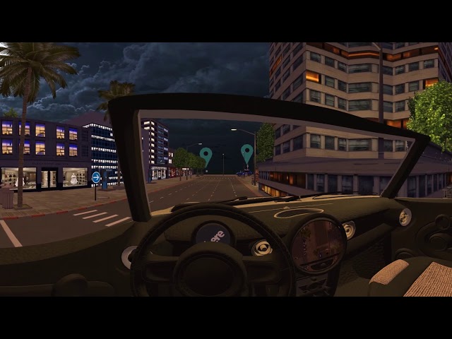
Take a tour of this 360° interactive video that allows you to view the scene as if from within the car. Shot with the Mosaic Viking ...
2,072 views
Make sure to watch the video in the highest quality settings to catch all the details!] In this interactive 360° video, you can look ...
144 views
1 year ago
Ocean Data by Ouchhh Studio as seen in Light Square, Adelaide, South Australia, a part of Illuminate Adelaide.
149 views
Now we're getting somewhere :) This test looks real good IMO. Same static scene with only small movements and a static ...
197 views
Suitability modelling using ArcGIS Pro from the MOOC Spatial Data Science.
34 views
Streamed 2 months ago
Using satellite data for everyday life is a given these days – from GPS (think about how often you use Google maps), to monitoring ...
904 views
172 views
Watch Sean Sandborgh and Wes Hawthorne of Locus Technologies discuss the powerful and innovative features of Locus EIM.
256 views
1,483 views
7 years ago


![180MP / 360° interactive video shot with a 360° mobile mapping camera in Kutna Hora [watch in 4K]](/api/proxy/image?url=https%3A%2F%2Fi.ytimg.com%2Fvi%2F0RqYasUjyJk%2Fsddefault.jpg)


