Upload date
All time
Last hour
Today
This week
This month
This year
Type
All
Video
Channel
Playlist
Movie
Duration
Short (< 4 minutes)
Medium (4-20 minutes)
Long (> 20 minutes)
Sort by
Relevance
Rating
View count
Features
HD
Subtitles/CC
Creative Commons
3D
Live
4K
360°
VR180
HDR
2,365 results
143 views
4 years ago
86 views
3 months ago
Join us in Brisbane as we introduce and explain our proprietary TruePath Tracking™ technology. The most accurate data ...
240 views
6 years ago
Oliver Ratzesberger interviews Carrie Ballinger of Teradata to discuss Teradata MAPS. Teradata MAPS is a huge enabler of ...
115 views
8 years ago
At the Map Gallery Opening Reception at the Esri User Conference, Navteca did demos of immersive Earth Science data showing ...
Mapping Urban Inequalities & The Kitchen Square – MAPURBAN Join us to Hallonbergen in Sundbyberg municipality, Stockholm ...
91 views
3 years ago
Testing a possible workflow for creating 360° videos from my glacier mapping project. This is raw intermediate data from the ...
57 views
5 years ago
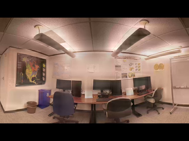
Point Cloud data plant environment.
6 views
Using satellite data for everyday life is a given these days – from GPS (think about how often you use Google maps), to monitoring ...
904 views
Suitability modelling using ArcGIS Pro from the MOOC Spatial Data Science.
34 views
Streamed 2 months ago
Travel from the Himalayas through Earth's atmosphere, out past the Milky Way and into the inky black of space, all the way to the ...
174,523 views
2 years ago
... I get data updates or do a review or get data in that case but locus is a few solutions to keep you covered there one is obviously ...
107 views
In partnership with the Advanced Information Systems Technology (AIST) Program of the NASA Earth Science Technology Office ...
327 views
9 years ago
I know it doesn't make a lot of sense, but Bloop is hunting you in your house! Enjoy the video. Other 360 videos here on the ...
13,809,088 views
Set the quality manually to 4k YouTube reduce the resolution... click on the gear icon on the upper right side and change quality to ...
172 views
Watch Sean Sandborgh and Wes Hawthorne of Locus Technologies discuss the powerful and innovative features of Locus EIM.
256 views
This is a 4K panoramic video rendered using unreal engine 5. The features you see in the video are reality meshes captured and ...
675 views
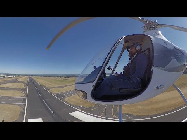
For larger scale projects sometimes renting a helicopter and using consumer-grade DSLR equipment is the most cost effective ...
45 views
Ocean Data by Ouchhh Studio as seen in Light Square, Adelaide, South Australia, a part of Illuminate Adelaide.
149 views