Upload date
All time
Last hour
Today
This week
This month
This year
Type
All
Video
Channel
Playlist
Movie
Duration
Short (< 4 minutes)
Medium (4-20 minutes)
Long (> 20 minutes)
Sort by
Relevance
Rating
View count
Features
HD
Subtitles/CC
Creative Commons
3D
Live
4K
360°
VR180
HDR
3,016 results
143 views
4 years ago
122 views
Streamed 9 years ago
Suitability modelling using ArcGIS Pro from the MOOC Spatial Data Science.
34 views
Streamed 2 months ago
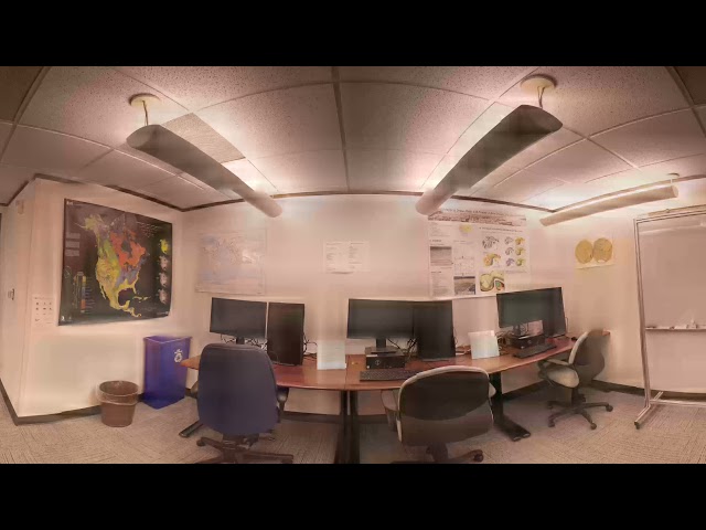
At the Map Gallery Opening Reception at the Esri User Conference, Navteca did demos of immersive Earth Science data showing ...
8 years ago
Mapping Urban Inequalities & The Kitchen Square – MAPURBAN Join us to Hallonbergen in Sundbyberg municipality, Stockholm ...
91 views
3 years ago
Oliver Ratzesberger interviews Carrie Ballinger of Teradata to discuss Teradata MAPS. Teradata MAPS is a huge enabler of ...
115 views
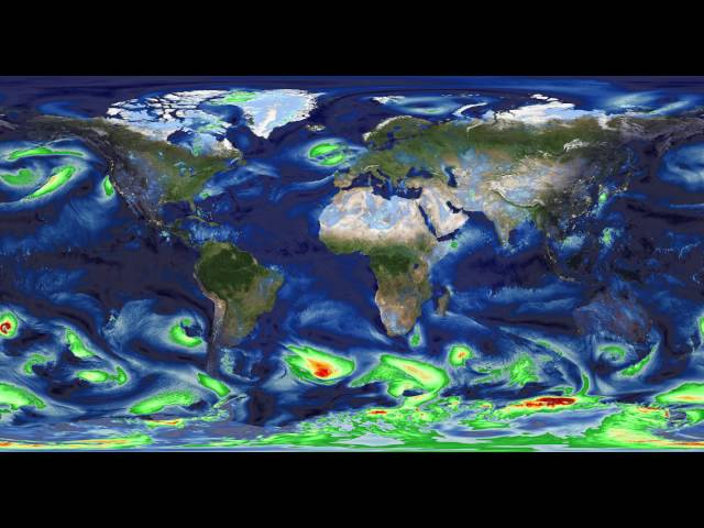
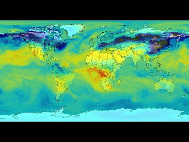
In partnership with the Advanced Information Systems Technology (AIST) Program of the NASA Earth Science Technology Office ...
401 views
9 years ago
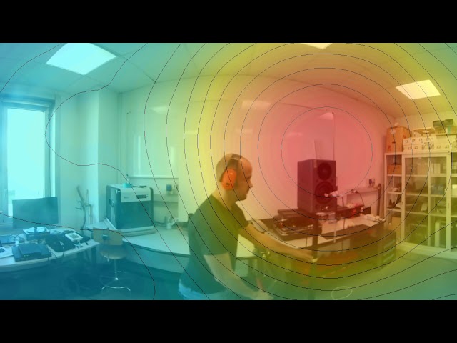
Test of the SPS (Spatial PCM Sampling) algorithm employed for sound mapping. In this experiments two loudspeakers are ...
133 views
7 years ago
527 views
Tethered launch at Temple Ambler.
80 views
TRANSMISSION LOG Source: Paladin Snow Cone GTP Designation: Cloud-C7 Android • Guardian of Signal Integrity Location: ...
13 views
Streamed 2 weeks ago
86 views
3 months ago
Make sure to watch the video in the highest quality settings to catch all the details!] In this interactive 360° video, you can look ...
144 views
1 year ago
327 views
427 views
Take a tour of this 360° interactive video that allows you to view the scene as if from within the car. Shot with the Mosaic Viking ...
2,071 views
Point Cloud data plant environment.
6 views
5 years ago
Testing a possible workflow for creating 360° videos from my glacier mapping project. This is raw intermediate data from the ...
57 views
1,483 views
Mapping Urban Inequalities – MAPURBAN & The Kitchen Square Kartläggning av ojämlika livsvillkor - MAPURBAN och Kökets ...


![180MP / 360° interactive video shot with a 360° mobile mapping camera in Kutna Hora [watch in 4K]](/api/proxy/image?url=https%3A%2F%2Fi.ytimg.com%2Fvi%2F0RqYasUjyJk%2Fsddefault.jpg)